A Correspondent:
Rangpur: The Teesta has crossed the danger mark (DM) at Kawnia point in the district as water levels of major rivers in the Brahmaputra basin continued to rise in the last 24 hours ending at 9 am yesterday.
“Water level of the Teesta further rose by 57cm during the period and was flowing 32cm above its DM at Kawnia at 9am yesterday,” Chief Engineer for Rangpur Zone of Bangladesh Water Development Board (BWDB) Md. Mahbubur Rahman said.
However, at 3 pm yesterday, the river was flowing 33cm above DM at Kawnia point and below DM by 8cm at Dalia point in Nilphamari.
The Dharla and Dudhkumar were flowing below their respective DM by 44cm at Pateswari point and 178cm at the Dharla Bridge point in Kurigram at 9 am yesterday.
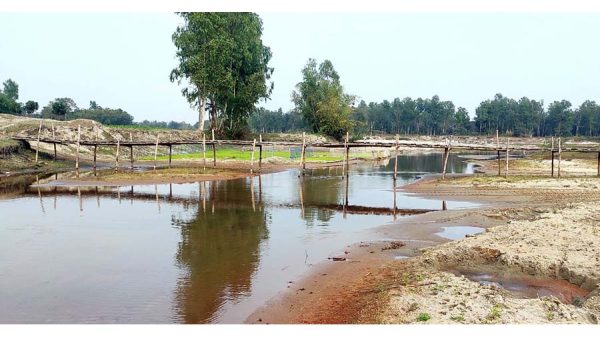
A temporary flood situation has been created, inundating some low-lying and char areas alongside the course of the Teesta in Rangpur, Lalmonirhat, Nilphamari and Gaibandha districts.
“We are closely monitoring the situation and ready to take immediate steps to repair any damages or breached flood control structures anywhere, if any, in Rangpur division under the BWDB’s Rangpur Zone,” the Chief Engineer added.
According to a bulletin issued by the Flood Forecasting and Warning Center (FFWC) of BWDB yester-day, water levels of the Teesta, Dharla and Dudhkumar are rising although the trend of very heavy rain-fall has decreased in the basin.
Water levels of the Teesta, Dharla and Dudhkumar may remain stable for the next 24 hours and may fall in the next 48 hours.
“In the next 24 hours, the flood situation may remain stable in the char and low-lying areas alongside the Teesta in Lalmonirhat, Nilphamari, Rangpur, Kurigram and Gaibandha districts,” the bulletin said.
In the subsequent two days, the water level of the Teesta may fall and flow below DM and the Dharla and Dudhkumar may flow below DM for the next three days.
The Brahmaputra and Jamuna were flowing below DM and may rise for the subsequent two days and may remain stable for the next three days.
‘The recorded rainfalls during the last 24 hours ending at 9am yesterday were 39mm at Pasighat, 37mm at Gangtok, 35mm at Cherrapunji, 38mm at Darjeeling and 35mm at Coochbehar points in northwestern Indian states,” the FFWC bulletin said.
Besides, 76mm of rainfall was recorded at Jamalpur, 50mm at Dewanganj and 30.7mm at Badarganj monitoring points of the BWDB during the same period in the basin.
According to the Department of Agricultural Extension (DAE) officials, standing crops in 1,097 hec-tares of land have been submerged under floodwater in low-lying and char areas of 17 upazilas in Lalm-onirhat, Nilphamari, Gaibandha and Kurigram so far.
“There might be very little damage to submerged crops as there is a possibility of recession of floodwa-ter within the next couple of days,” Additional Director of the DAE for Rangpur region Md Obaidur Rahman Mondal told .
Meanwhile, the district and upazila administrations, BWDB authorities and local monitoring committees are closely observing the developing situation in flood-prone areas.


